.svg)
.svg)
Technology partners: Enabling better decision making with quality data
Share the article
Having access to a number of high-quality data sources is critical when it comes to making accurate, timely and actionable decisions. This is especially true for road traffic management, which is why Valerann has multiple technology partners to source the highest-quality data available today. In this blog, we look at our data sources and how Lanternn by Valerann’s™ cloud-based solution, with a powerful data fusion engine at its core, brings them all together to provide operators with the most comprehensive picture of their roads.
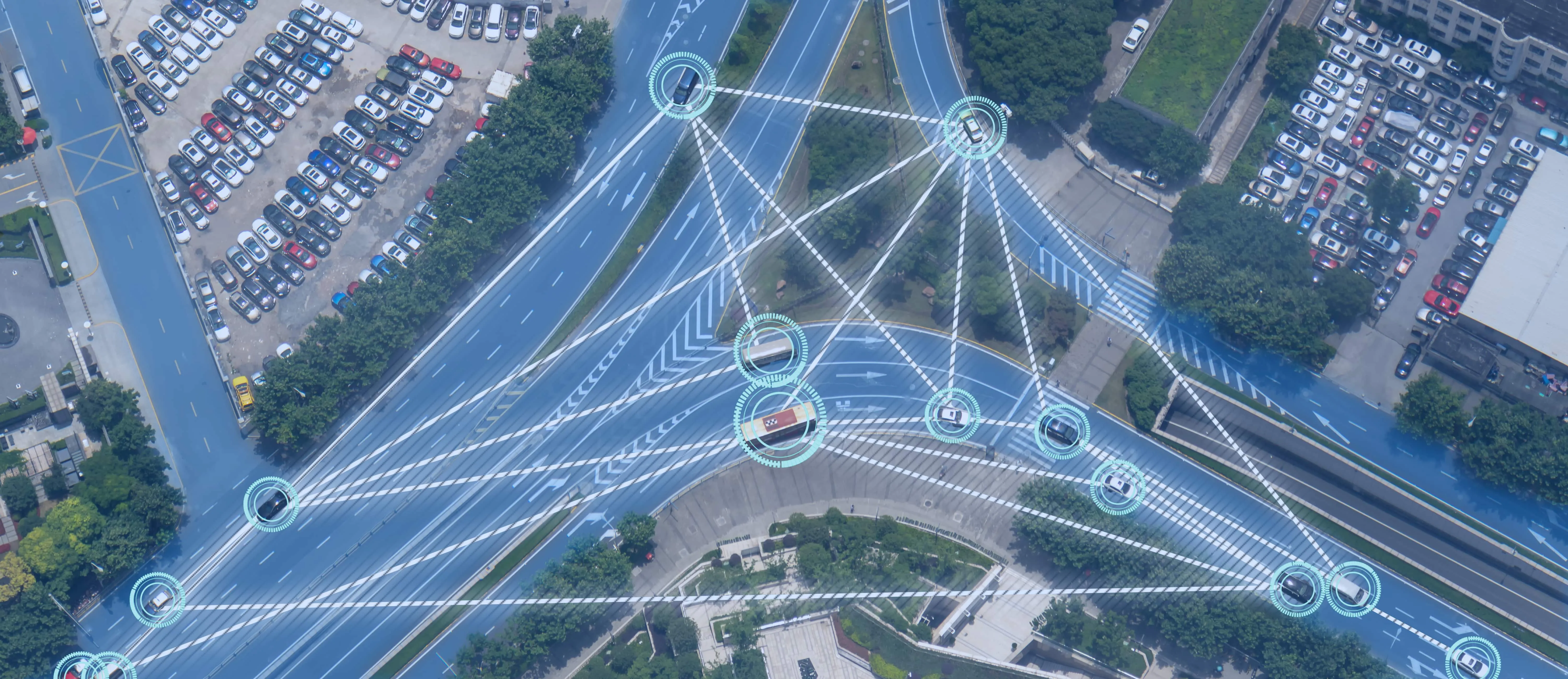
Road operators today can access a wide range of data sources that give them insight into what’s happening on the roads they are managing. The proliferation of connected devices and technologies, known collectively as the Internet of Things (IoT), has seen an explosion in not just the number of data sources, but the quality and amount of data that is generated.
The ability to ingest and then fuse these disparate data sources – either in real time or using historical data – and contextualize them for operators, ensures effective and efficient road management now and in the future. This is what underpins Lanternn by Valerann™. We partner with a number of companies to leverage their high-quality data sources – including connected cars, weather forecasting, sensors, traffic apps and other platforms – to give truly next-level road monitoring capabilities to operators.
Here are just some of our partners and the capabilities that they bring to make Lanternn by Valerann™ a game changer in the intelligent transport sector.

Sensors (cameras, radars, and CO2 emissions)
For decades, cameras have been a key source of visual data for road operators, giving them “eyes” across large road networks and allowing them to see what’s happening in real time from an operations center. In recent years, cameras have become more intelligent with the increasing use of AI-enabled machine vision, which is reducing the cognitive burden on operators when it comes to recognizing patterns and categorizing images.
Valerann works closely with companies that are specialists in the field of intelligent visual systems, including our technology partner Genetec. Lanternn by Valerann’s™ open architecture allows it to be integrated into Genetec’s solutions, and provides additional insights for users with powerful fusion techniques applied. Similarly, Valerann is also a technology partner of Milestone Systems, a provider of video management systems (VMS) including surveillance cameras.
These partnerships allow us to leverage technology and data from these providers and give road users even greater insight into their road performance that wasn’t before possible with camera sensors.
Connected vehicles
Gone are the days when cars were simply four wheels, an engine and a metal body. Today’s cars are fitted with advanced computers with complex software and sensors that are constantly collecting data about their environment and processing it in real time to carry out various functions.
This increases safety as these systems protect the driver and occupants from hazards, such as automated braking for pedestrians or other vehicles. Connected cars are also able to talk to each other – known as vehicle-to-vehicle (V2V) communications – which improves safety. Looking into the future, these technologies will lead the way to autonomous, self-driving vehicles that have limited human input.
The data collected by connected and autonomous vehicles is extremely useful for road operators and gives more granular data about a vehicle’s speed, direction, location, and behavior.
Valerann has partnered with companies including Wejo, Otonomo and smart dashcam vendors to leverage this data – anonymized of course – and to fuse this with other sources to study how cars and drivers behave on certain roads, as well as predict when and where accidents could occur. This telemetry data – such as sudden decelerations due to heavy braking or collisions – can also be used to confirm that incidents have taken place, along with visual data from camera feeds and alerts from traffic apps.
Weather
Weather can be a significant factor when it comes to events on roads, whether that is rainfall causing slippery conditions for drivers, or heavy snowfall closing an important highway linking major cities.
Disruptions caused by weather can have a significant economic impact for road operators and local areas. It is therefore critical that road operators understand both current weather conditions, as well as the forecast for the coming days in order to properly plan and prepare for possible disruption. For instance, snow ploughs can be prepared if heavy snowfall is expected.
Valerann has a technology partnership with the weather intelligence platform Tomorrow.io, a powerful data source that provides “the most accurate hyperlocal weather forecasts” as well as having historical data to inform future planning. Lanternn by Valerann™ leverages this rich data, and our proprietary data fusion algorithms will cross reference both real-time, historical, and future forecasting data to identify where there are high risks and issues on the roads.
While weather intelligence platforms are useful by themselves for road operators, the integration and fusion of other data sources is what sets Lanternn by Valerann™ apart from other platforms.
Mobile applications
Valerann has a long history of working with the developers of traffic mobile applications, namely Google Maps and Waze.
Barring human error, these apps almost eliminate getting lost and allow users to “crowdsource” data by inputting travel variances, such as road works or congestion. This allows people to see how long a journey will take, and more recently it also shows how much a journey will cost if using toll roads, and how fuel efficient the journey is. This is all critical data for users to plan journeys and affects many road operator’s market share.
Read more | Market share optimization: How Valerann can help road operators grow
These traffic apps are a critical source of information for road operators, although the nature of crowdsourcing data means that unreliability is high. That’s why Lanternn by Valerann™ uses multiple data sources to verify incidents in order to increase reliability and ensure that alerts from traffic apps are cross referenced with the other data sources mentioned in this blog. This ensures that operators are not overwhelmed with false alerts and can concentrate on real incidents.
Lanternn by Valerann™ can also ingest data from apps used for emergency services, including PulsePoint – an app developed to keep communities informed of emergency activity in their areas in real time. This information can be used to tell users that emergency services are responding to an incident on a road, or that a wildfire is affecting the area. This is all useful data for Lanternn by Valerann™ users and provides even richer insights into what is happening on their roads.
Conclusion
Effective decision making is only possible if the information available to operators is high quality and unwanted noise is filtered out. At Valerann, we are committed to providing operators with the highest-quality data that is relevant to them, and we work with only the best technology partners.
It is no longer possible for the human brain to process the endless data streams that are available. This is where AI-enabled fusion software such as Lanternn by Valerann™ provides game-changing capabilities for road operators.
.webp)

%201.png)